Monitoring
EVT.ID.24518.FL
Flood in Kenya 1104159
Floods tracked by NASA EONET since 2026-09-11T20:00:00Z, last fix at 4.035° S, 39.664° E.
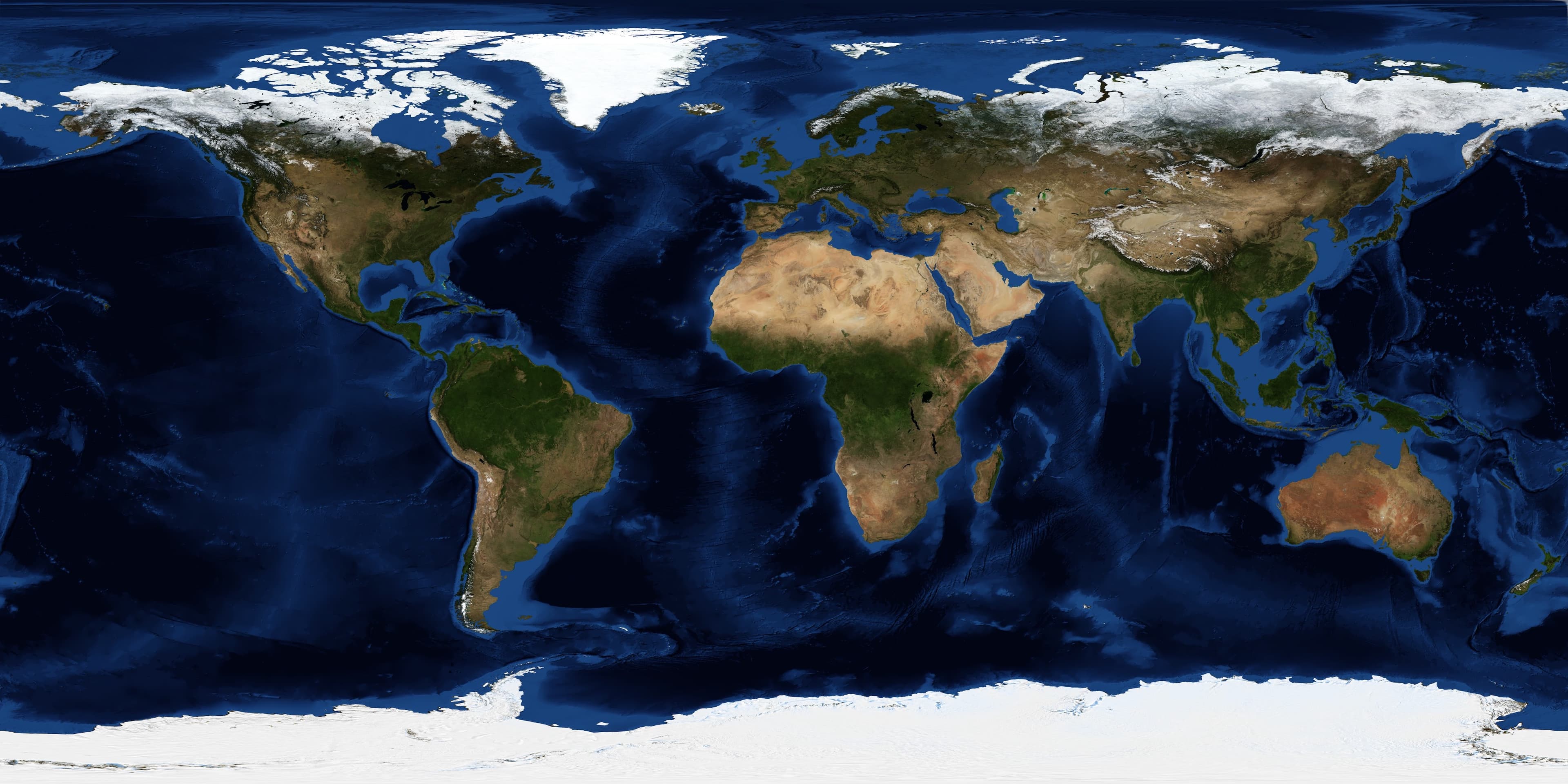
Sat_view: track_overlay
1 fix // Floods
LAT: 4.0346° S
LNG: 39.6643° E
Telemetry data [source: GDACS]
Magnitude
UNRATED
As reported
Drift
—
Stationary
Span
—
Since first fix
Fixes
01
Track points
| T-Stamp | Coord | Mag |
|---|---|---|
| 4.03° S, 39.66° E | — |
Mission log // Evolution timeline
// Current
Position fix
First fix on record, at 4.035° S, 39.664° E.